The Roads of Autumn, c, Colorado
Faizg
January 09, 2018
0 Comments
The Roads of Autumn, Rocky Mountain National Park, Colorado
The Roads of Autumn, Rocky Mountain National Park, Colorado
Rocky Mountain National Park has the highest paved roads in any national park in the UnitedStates, with Trail Ridge Road cresting at 12,183 feet. Be prepared for strong winds and
rapid weather changes.
1) Trail Ridge Road
- Closed to motorized vehicles, bicycles, and leashed pets
- April 1, 2018: Opens to bicycles and leashed pets
- Late May, 2018: Opens to motorized vehicles, weather permitting
Trail Ridge Road Status Line: 970 586-1222
This recorded message has the most up-to-date information on whether Trail Ridge Road isopen or closed and is available 24 hours per day.
Extreme weather can change the status of Trail Ridge Road at any time—be ready to adjust
your travel plans if needed, and always check the weather before you start your drive.
- There are no shoulders and few guardrails.
- Trail Ridge Road is not plowed between 4 pm and 7 am.
- Length: 77.2 km
- Constructed: 1932
- Tourist routes: Trail Ridge Road/Beaver Meadow Road
- West end: Grand Lake
- East end: Estes Park
Did you know: It's the highest continuous paved road in the United States, reaching an elevation of 12,183 feet.
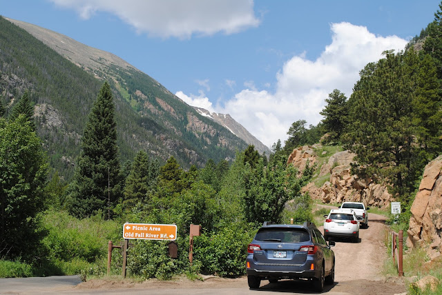
2) Old Fall River Road
- Closed to motorized vehicles, bicycles, and leashed pets
- The road is one-way only from Endovalley Picnic Area to above treeline at Fall River Pass.
- Vehicles over 25 feet or pulling trailers are prohibited.
- Nearest city: Estes Park
- Added to NRHP: 20 July 1987
While safe to drive for most passenger vehicles, Old Fall River Road has a dirt surface and
is winding and narrow.
3) U.S. Route 34
- Highway in the United States of America U.S. Route 34 is an east–west United States highway that runs for 1,122 miles from north-central Colorado to the western suburbs of Chicago. Wikipedia
- Length: 1,806 km
- Constructed: 1926
- West end: US 40 at Granby, CO
- East end: IL 43 at Berwyn, IL
4) U.S. Route 36 in Colorado
Route in Colorado
- U.S. Route 36 is a major east–west route in the U.S. state of Colorado, extending from Rocky Mountain National Park to the Kansas state line. Wikipedia
- Length: 374 km
- Constructed: 1926
- East end: US-36 at Kansas state line
- West end: US 34 near Estes Park
- Existed: 1926 – present
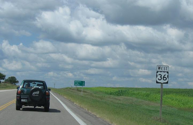
5) U.S. Route 36
Highway
- U.S. Route 36 is an east–west United States highway that travels approximately 1,414 miles from Rocky Mountain National Park, Colorado to Uhrichsville, Ohio. Wikipedia
- Length: 2,276 km
- Constructed: 1926
- West end: US 34 in Rocky Mountain National Park, CO
- Existed: 1926 – present
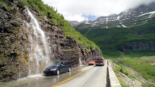
6)Going-to-the-Sun Road
Road in Montana
- Going-to-the-Sun Road is a scenic mountain road in the Rocky Mountains of the western United States, in Glacier National Park in Montana. Wikipedia
- Length: 80 km
- Constructed: 15 July 1933
- Area: 143 ha
- Nearest city: West Glacier
- Added to NRHP: 16 June 1983
Did you know: The road is the first to have been registered in all of the following categories: National Historic Place, National Historic Landmark and Historic Civil Engineering Landmark.


